Radar Altimeter Guide: How It Works and How to Choose
A radar altimeter measures true height above ground. How FMCW radar altimeters work, where UAVs use them and what to compare when choosing one.
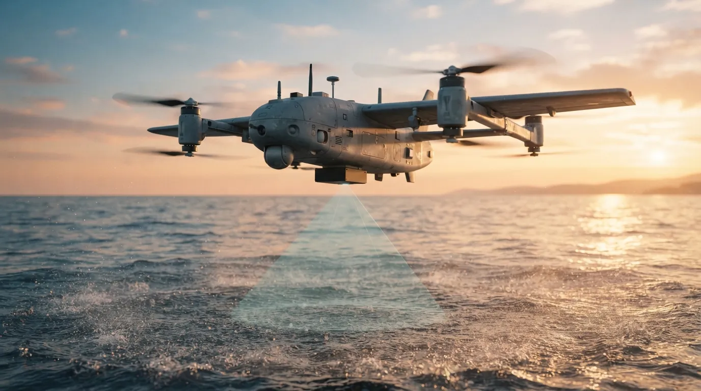
A radar altimeter — also called a radio altimeter — measures the height of an aircraft or drone directly above the ground or water beneath it. Unlike a barometric altimeter or GNSS altitude, it does not depend on air pressure or satellites: it sends a radio signal down and measures how long the reflection takes to come back.
Radar altitude vs barometric and GNSS altitude
- Barometric altitude is relative to a pressure reference and drifts with weather
- GNSS altitude is relative to a mathematical model of the Earth and can be jammed
- Radar altitude is the real height above ground level (AGL) — exactly what matters for landing, hover and low flight over changing terrain
How an FMCW radar altimeter works
Most compact radar altimeters use FMCW — frequency-modulated continuous wave. The radar transmits a continuous signal whose frequency rises in a linear ramp (a chirp). When the echo returns from the ground, the transmitter has already moved to a slightly different frequency. Mixing the two gives a “beat” frequency that is directly proportional to the distance. Because the radar measures many chirps per second, it can update height dozens of times a second with centimetre-level resolution at short range.
Radio waves also pass through dust, smoke, fog and darkness, which is why radar altimeters keep working where optical and laser sensors struggle.
Frequency bands
Certified aviation radar altimeters operate in the 4.2–4.4 GHz band. Compact altimeters for UAVs and unmanned vessels commonly use the 24 GHz ISM band, which allows small antennas, low power consumption and light weight — Sağlamtek’s BORADAR altimeters work at 24 GHz.
Where radar altimeters are used
- Automatic landing and flare control for UAVs and helicopters
- Stable hover and precision low-altitude flight
- Terrain following and controlled approach
- Height above water for unmanned surface vessels and maritime operations
- Agricultural and inspection drones flying close to the ground
What to compare when choosing a radar altimeter
- Range: maximum height you need to measure, plus the minimum height near touchdown
- Accuracy across the range — accuracy usually changes with height
- Update rate: faster updates give smoother control loops
- Beam width: a narrow beam sees a smaller ground patch; a wider beam tolerates tilt
- Interface, supply voltage, power, weight and ingress protection
Choosing between BORADAR models
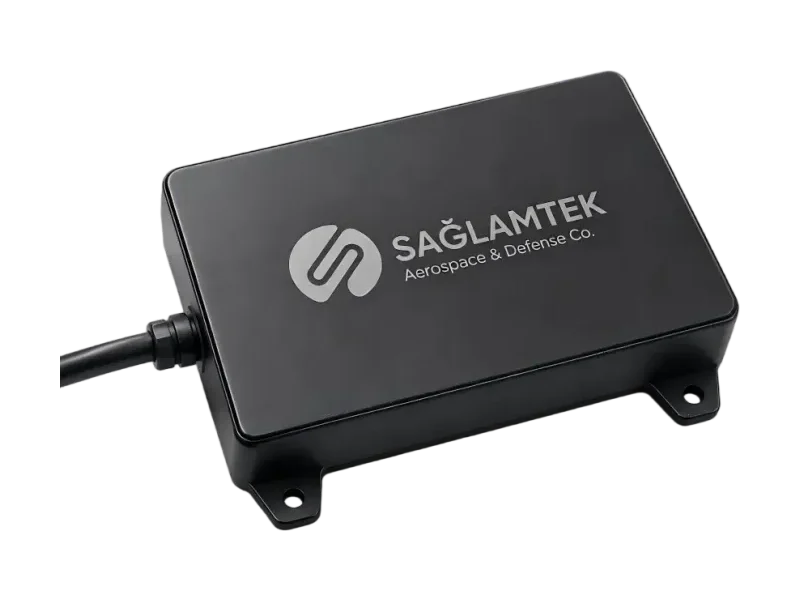
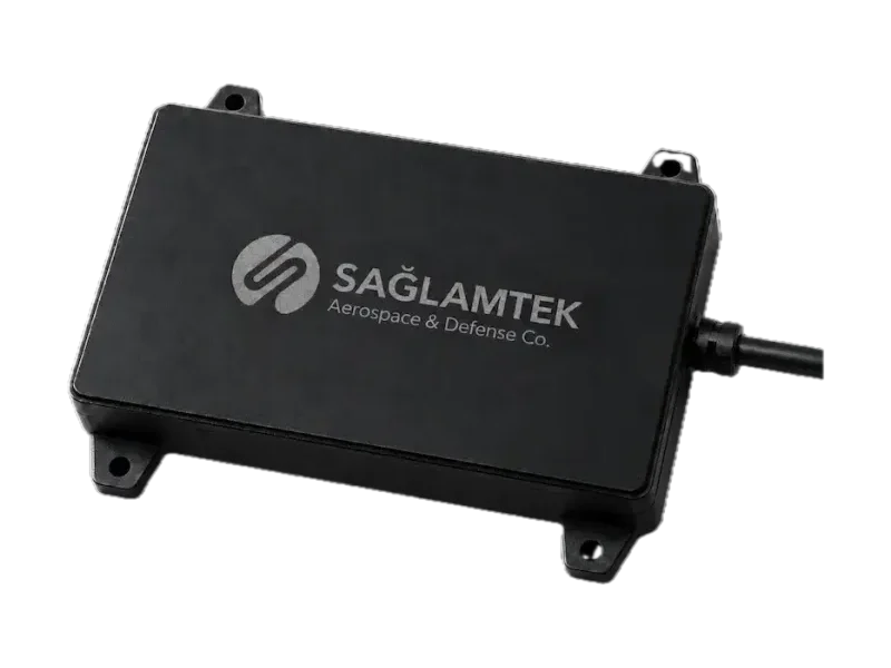
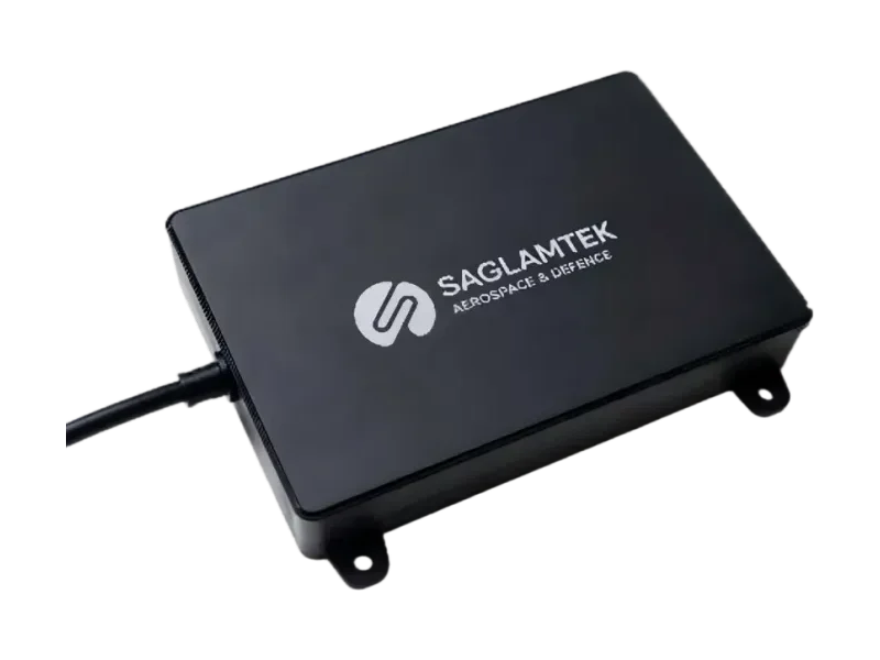
- BORADAR-50 — 0.1 to 50 m, ±2 cm typical accuracy, 50 Hz, under 100 g: for landing, hover and low-altitude work
- BORADAR-100 — 0.1 to 100 m, ±0.1 m up to 30 m, 40 Hz, 81 g: for terrain following and controlled approach
- BORADAR-200 — up to 200 m at 42 Hz, IP66, all-weather, 95 g: for UAVs, helicopters and unmanned surface vessels
Share your platform, flight envelope and interface with our team and we will recommend the altimeter that fits — or adapt one to your integration.

Written by
Sağlamtek Engineering Team
RF, antenna & navigation engineering · Ankara
Articles on this blog are written by the engineers who design, test and build Sağlamtek’s anti-jam GNSS, RF, antenna and radar products at our R&D Center and manufacturing facility in Ankara.